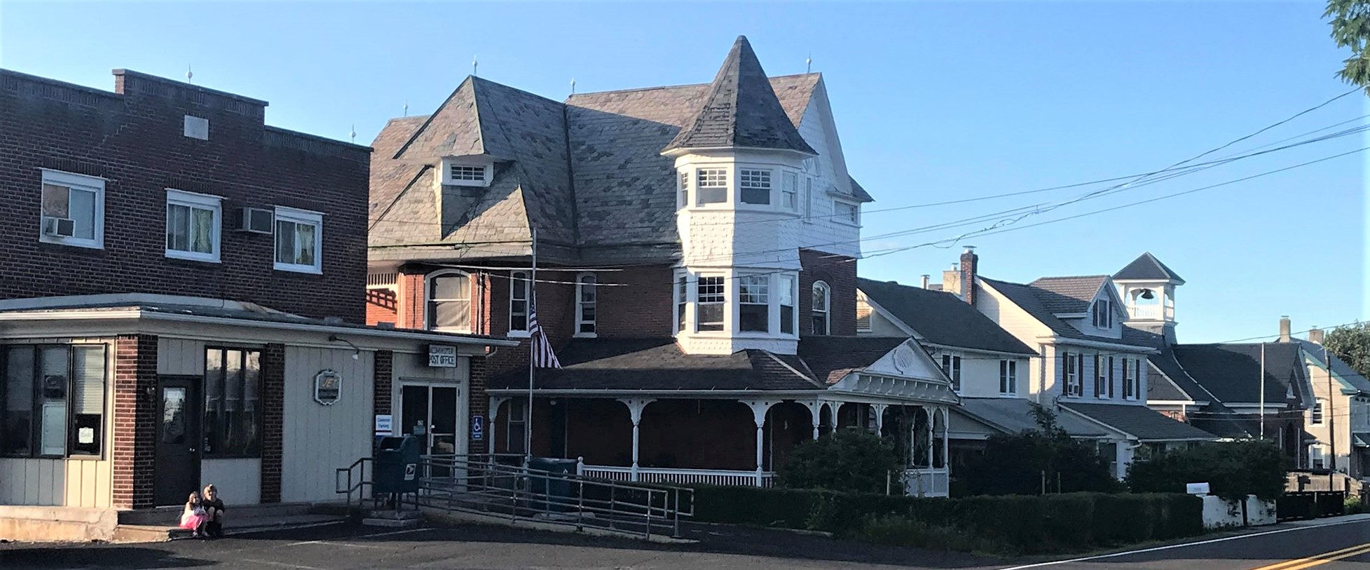
How Bedminster, Bensalem and the village of Anchor got their names.
There’s this tale about a band of Irish immigrants fleeing the UK to found a township in Upper Bucks. Ok, what do we call the new settlement? How about a fine city in England? What?!! In the lower end of the county, another municipality was named for a word meaning “perfect” until someone came along and added a prefix that undid “perfect”. What could be more perfect than perfect? That’s debatable, of course. And then there’s the story of a crossroads village in Central Bucks that went nautical far from the sea, then exhumed a prehistoric monster.
Hummm.
Let’s begin this gallop through nomenclature by trekking back to 1726. That’s when Irish settlers arrived in the uncharted wilderness of Central Bucks. They came from Donegal and Antrim. Family names included McCalla, Darrah and Grier. German immigrants also joined them to fashion a prosperous settlement of farms and villages like Dublin, Hagersville, Weisel, Fretz and Kulp’s Corner. The newcomers constructed a log church for Irish-born Rev. William Tennent who later would inspire the creation of Princeton University.
By 1741, citizens petitioned county court to establish a boundary and name for their Irish-German municipality. The court chose four Welshmen to decide the issue. The quartet hired surveyor John Chapman to set the municipal borders. He suggested the township be called “Bedminster” after the city in England. Irish and Germans might have favored something like “New Sneem” or “New Gelsenkirchen”. But “Bedminster”? Not a single resident was from Bedminster. Did the township even look like the English parish? No matter; the court had ruled. Bedminister it would be.
Hummm.
In the lower end of Bucks, that same county court in 1685 chose “Salem” for the name of one of the earliest municipalities established by William Penn. Its a biblical name translated most often as “at peace” but more correctly “perfect” or “complete”. In 1701, the provincial government inexplicably gave it a new name: “Bensalem.” Some argue it’s a Hebrew compound of two words: “Ben” meaning “son” and “Salem” for “at peace”. Thus, “Son at Peace”. But others say Bensalem is a combination of the Gaelic “Ben” meaning “hill” and the Hebrew “Salem”. Thus, “Hill at Peace”. In 1940, a scholar suggested “Ben” is really Scottish, meaning “the inside of a house”. So, Bensalem these days can mean three things: Living Room at Peace Township, Son at Peace Township, or Hill at Peace Township. I checked and there is yet another definition of “Ben”. It’s Chinese for “Japan”. So Bensalem could mean “Japan at Peace” Township.
Hummm.
Now about the village of Anchor. Most motorists know it for a busy five points intersection in Wrightstown. There Route 413 between Newtown and Buckingham, Second Street Pike to Richboro, Windy Bush Road to New Hope and Park Avenue to Wycombe come together at a traffic light. Back in the day of 1-horsepower wagons, 21-year-old Joseph Hampton built a tavern where the roads came together as dirt cartways. Tough-toiling settlers satisfied their great thirst for ale at Joe’s tavern that he called Anchor. What was he thinking? No water in sight other than at the tap.
First a little about Quaker Joe. He made quite a name for himself. He was a member of the Provincial Assembly in Philadelphia, and collected excise taxes for the government. He also was a gifted agriculturalist, having planted Bucks County’s first orchard of grafted apple trees.
To name his bar, Joe likely was inspired by visits to Philadelphia where the Blue Anchor Tavern near the river docks was a favored watering hole for William Penn in 1682. So he named his taproom the Anchor.
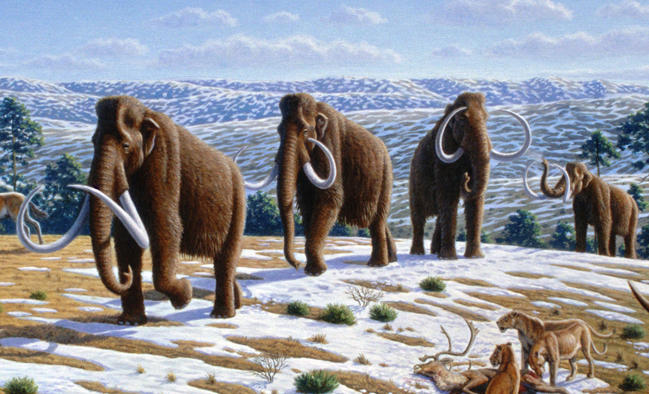
The tavern became famous in 1812 when a fossilized, foot-wide vertebra was found nearby. To locals, it proved an unimaginable giant once prowled the area. The vertebra, displayed on a tavern wall, remained the talk of the village for 50 years. It was finally identified in the late 1800s by Doylestown archeologist Henry Chapman Mercer as a prehistoric wooly mammoth elephant 14-feet high at the shoulder. Additional bones dug up in the area of the find were assembled into a skeleton and exhibited in Doylestown.
Unfortunately, the Anchor burned down on July 7, 1998. Unlike the wooly mammoth, nothing remains. Just the name of nearby Anchor Creek, the 100-acre Anchor Run Farm, the Anchor Crossing business center and a very short Old Anchor Road. You can still find ale at the intersection however – at the Cold Spring beer distributorship that replaced the Anchor.
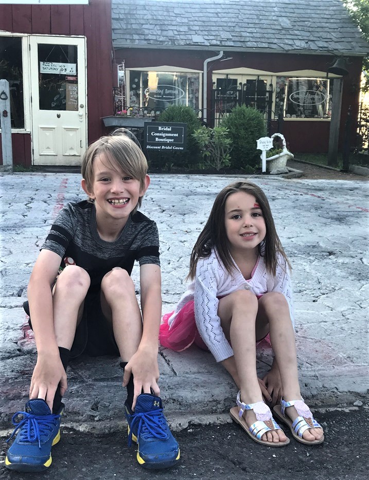
My grand kids Dashiell and Margaux live in Bedminster, we’ve flown kites from Bensalem’s hill (where Ben Franklin flew his famous kite), and we’ve skulked around the Mercer Museum in Doylestown to view an engraving of the Anchor’s wooly mammoth.
So an ale toast to our interesting past!
Sources include “Jones’ Dictionary of Old Testament Proper Names” and “Place Names in Bucks County Pennsylvania” by George MacReynolds published in 1942.